Mapping our native grasslands
Why are we doing work to map native grassland?
Hobsons Bay includes areas of plains grassland (native grassland). This provides habitat to an impressive range of flora and fauna, including many rare and threatened species.
It is important that these areas are managed to ensure that their biodiversity values and any habitat links are protected and enhanced into the future.
The ‘Mapping our Native Grasslands’ project aims to provide up to date information on the location and value of remaining native grassland areas within Hobsons Bay with a particular focus on industrial land.
Protecting and enhancing native grasslands within industrial areas is a key objective identified in our Biodiversity Strategy 2024-34 and Draft Industrial Land Management Strategy 2023-38.
The project will provide Council officers with accurate mapping on the location of native grassland and an evidence base on which we can begin preparing planning controls that will help manage native grasslands into the future.
Property access for native grasslands mapping
Council has requested permission to access properties to enable an environmental consultant to inspect the value and condition of native grasslands.
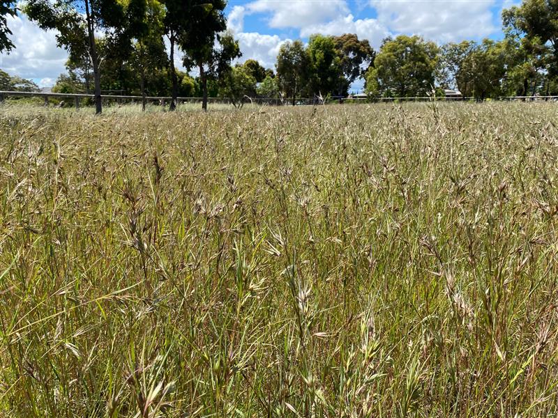
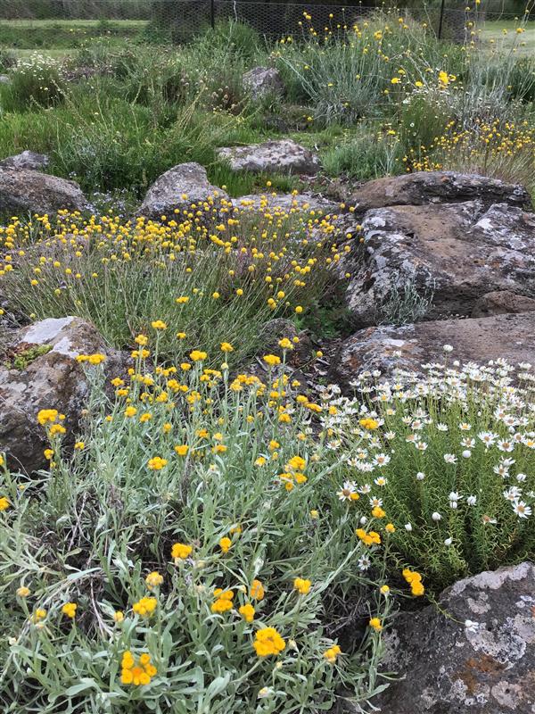
Some of the industrial areas in Hobsons Bay include native grassland areas that belong to the Plains Grassland Ecological Vegetation Class (EVC). This is a critically endangered ecological community listed under the Environment Protection Biodiversity Conservation Act 1999. There is currently less than one per cent of these grassland environments remaining in Victoria. These grasslands provide habitat for many threatened species, including the golden sun moth (synemon plana), striped legless lizard (delma impar) and spiny rice-flower (pimelea spinescens).
Hobsons Bay is home to 13 plants and 26 animals threatened within Victoria and protected under the Flora and Fauna Guarantee Act 1988 (FFG Act). Victorian Government approval is required for applications which seek to remove listed native grassland species under the FFG Act.
The Department of Energy, Environment and Climate Action (Victorian Government) has conducted modelling based on 2005 data to outline locations of plains grassland in Victoria, including Hobsons Bay. This mapping has identified industrial areas that have the right conditions (soil, climate etc.) for the plains grassland and related significant species to be located on it. Further investigation is required to determine the condition and prevalence of important species and the condition of the overall environment.
Council officers have compared the 2005 modelling to recent aerial photography to identify remaining vacant sites that may include native grassland. From this review, 35 sites have been identified as having potential grassland. These are located in industrial areas in the western part of Altona, generally around Kororoit Creek Road and the Laverton railway line. We are focusing only on properties included in the 2005 maps that have not been developed and therefore may contain remaining native grassland.
We currently rely on outdated Victorian Government mapping of native grassland areas from 2005. This project will provide a more accurate understanding of the location and condition of native grasslands to help inform the ongoing management of grasslands and future planning controls for these areas.
We engaged an independent environmental consultant to inspect areas where native grassland has previously been identified. The consultant identified the location, condition and habitat value of these native grasslands that are predominantly located within industrial areas of Hobsons Bay.
How did we propose to inspect grasslands within private property?
We wrote to landowners requesting permission to access their property to enable the environmental consultant to inspect the value and condition of native grasslands.
With a landowner’s consent, the inspections was done through on-site inspections or through aerial photography using drone footage. Without a landowner’s consent the consultant conducted a roadside/perimeter inspection.
We worked with landowners to ensure any risks or health and safety requirements associated with an inspection was addressed.
We coordinated these requirements with the landowner, consultant or drone operator.
Next steps
We are pleased to share that the work undertaken in the 'Mapping Our Native Grassland' project has significantly advanced our understanding of local native grasslands. The comprehensive study has updated our internal mapping and will play a crucial role in shaping future planning controls to protect these vital ecosystems.
In the coming months, the project will align with Council’s broader strategic initiative, City Futures: Planning Housing and Jobs for All, which aims to integrate environmental, housing, and employment priorities across our municipality. While this overarching plan is being developed, it is our intention to resume the planning scheme amendment process in the future, ensuring the ongoing protection of native grasslands.
We appreciate your ongoing interest and will provide further updates as the project progresses.
Document Library
Mapping our Native Grassland Factsheet(PDF, 291KB)
Mapping our Native Grassland FAQ’s(PDF, 191KB)
Contact us
Have a question or want to learn more about the project, contact us below:
Name: Strategic Planning Officer
Telephone: 1300 179 944
Email: strategicplanning@hobsonsbay.vic.gov.au